Streams
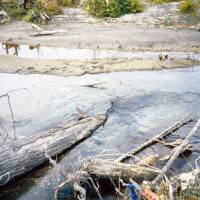
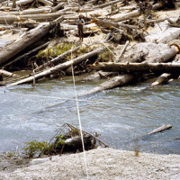
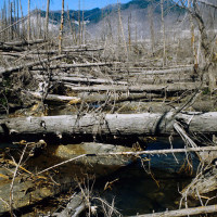
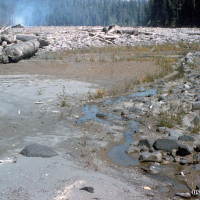
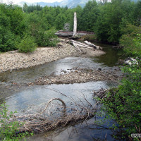
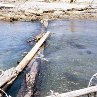
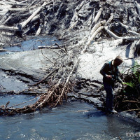
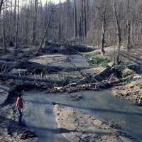
- Logs formed pools, slowing stream flow in some sections and accelerated flow in others. [four years after eruption]
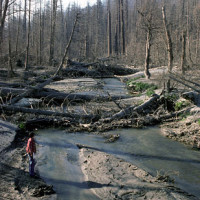
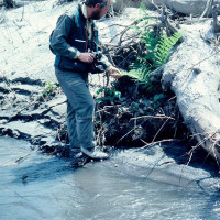
- Changes in stream characteristics were determined by repeated surveys. [2 years after eruption]
- Scientists observed how logs influence stream structure, especially the formation of pools and riffles.
- In other sections, all logs were removed from the stream while in other sections only a partial removal was conducted.
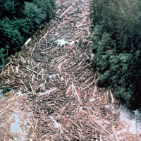
- In some sections of Clearwater Creek all logs were left in place in the stream. [1 year after eruption]
- Scientists and forest managers installed a long-term experiment to study the role of logs in streams. [3 years after eruption]
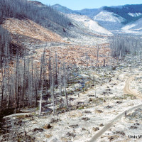
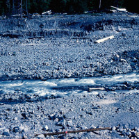
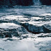
- Erosion washed pumice and ash off adjacent hillsides and into streams. [1 year after eruption]
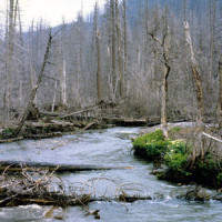
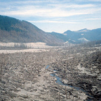
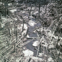
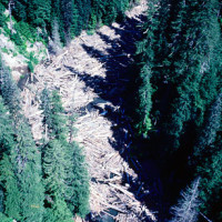
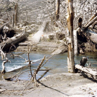
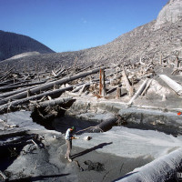
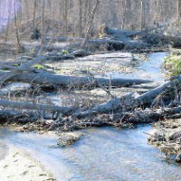
- Blast zone streams were filled with downed trees. [1 year after eruption]
- Small tributary streams were a key place for early establishment.
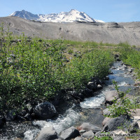
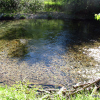
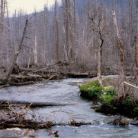
- Streams and wetlands fed by groundwater springs are stable and willows and Sitka alders are taking root. [29 years after eruption]
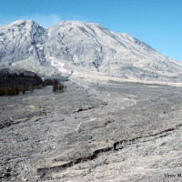
- The boulder-filled mudlfows scoured stream channels uprooting and depositing trees downstream.
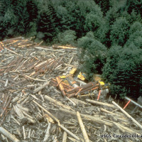
- Logs were washed downstream and deposited along channels.
- Trees were swept away and washed downstream.
- Damage was limited to the valleys in which the lahars were channeled downstream.
- In time, streams are gradually returning to pre-eruption conditions
- As streamside vegetation develops, streams begin to be shaded once again.
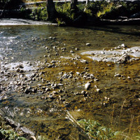
- As streambeds cleared, abundant cobbles and algae provided excellent habitat.
- Temperatures were higher in blast zone streams.
- Formely forested streams were transformed into open, sediment-rich waterways. [2 years after eruption]
- Eroded blast deposits were washed downstream. [3 months after eruption]
- Habitat conditions in streams were profoundly alterred. [3 months after eruption]
- Surviving roots sprouted from eroded streambanks
- Transport of sediment downstream was a mjor concern.
- Downed trees trapped sediment.
- Logs helped stabilize streambeds, forming riffles and pools to the benefit of habitat for fish,
- Following the eruption, streams were filled with ash eroded from blast zone hill slopes.
- Surviving roots sprouted from exposed soil on stream banks.
- The lahars formed cement-like slurries that swept trees, log-decks and logging equipment downstream.

