Debris Avalanche
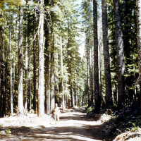
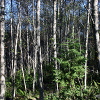
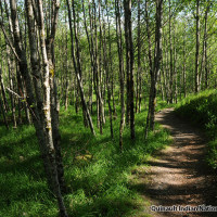
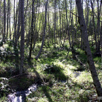
- Prior to the eruption, majestic old-growth forests cloaked the valley north of the volcano.
- A forest of 150 foot (45 m) fir and hemlock trees covered the valley before the eruption.
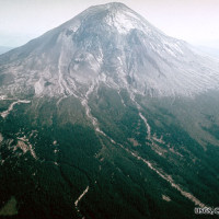
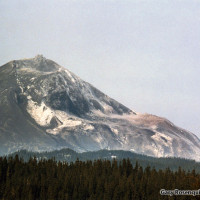
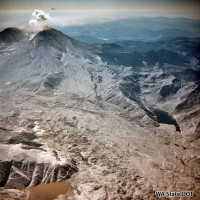
- In the spring of 1980, rising magma formed a massive bulge on the north flank of Mount St. Helens.
- A magnitude 5.1 earthquake triggered the largest landslide in recorded history.
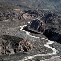
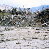
- It took only 10 minutes for the landslide to scour and bury 14-miles (22 km) of river to an average depth of 150 feet (45 m).
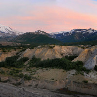
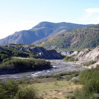
- Erosion cut deep canyons and actively shifting floodplains.
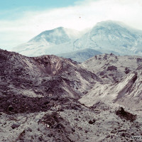
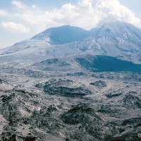
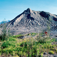
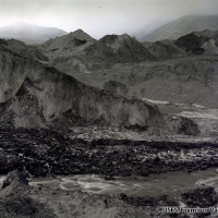
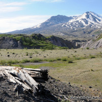
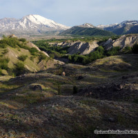
- Chunks of fragmented mountain top cover the deposit surface.
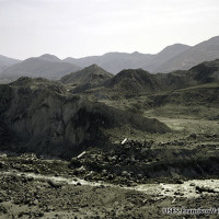
- The debris avalanche created complex habitat and a unique natural laboratory [Four months after eruption]
- The landslide swept away trees and other vegetation depositing them in a massive debris pile downstream.
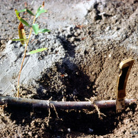
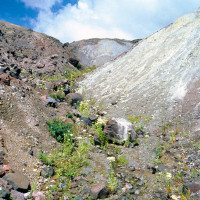
- Some plants survived when rare root fragments on the deposit surface sprouted.
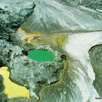
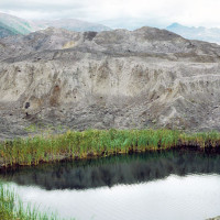
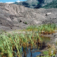
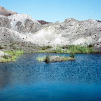
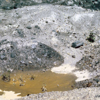
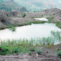
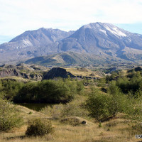
- The massive debris avalanche filled the valley north of the volcano creating numerous small ponds and wetlands.
- Plants established quickly on moist pond shorelines.
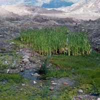
- Groundwater springs fed new wetland communities. [Five years after eruption]
- Wetlands formed important oases for colonizing life on the largely barren deposit.
- The landslide formed more than 130 new ponds. Stable wetlands were important sites for plant colonization.
- The springs acted as oases of habitat in the barren valley [Nine years after eruption]
- Wind blown seeds colonized ponds and depressions.
- Plants also established between small hills formed by chunks of the collapsing volcano.
- The debris avalanche created complex habitat that supports an amazing diversity of plant and animal life.
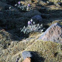
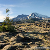
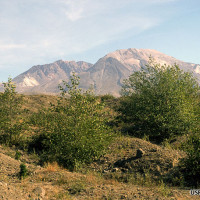
- Hardy mosses and well adapted plants like prairie lupine colonized drier, upland areas.
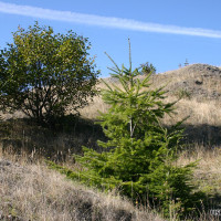
- Eventually slower growing conifer trees like this Douglas-fir will outlive and overtop the faster growing alder forest.
- Red alder, a nitrogen-fixing, broadleaf tree took root around ponds and wetlands.
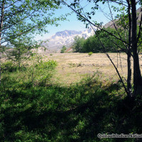
- Trees and shrubs also established, forming the beginnings of a future forest.
- Debris avalanche deposit. [1 year after eruption]
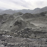
- Note rapid erosion of deposit surface. [3 years after eruption]
- Stream erosion widens floodplain. [4 years after eruption]
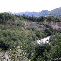
- A fast growing red alder forest has established. [24 years after eruption]
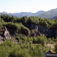
- The alder forest expands. [29 years after eruption]
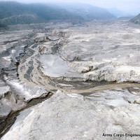
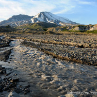
- Erosion and sediment transport was at record levels as the river cut new channels in the deposit.
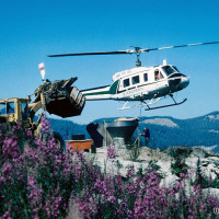
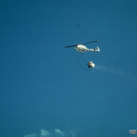
- Helicopters were used to spread grass seed and fertilizer for erosion control.
- Commercially available grass seed was spread over thousands of acres outside the monument.
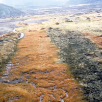
- Uneven distribution of seed and fertilizer is visible in the photo.
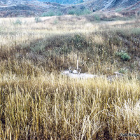
- On flat areas and gentle slopes the seeding produced dense stands of grass.
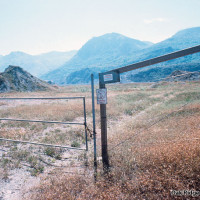
- A wildlife area downstream of the monument was heavily seeded.
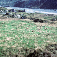
- Planted grass and clover provide winter range for elk
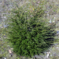
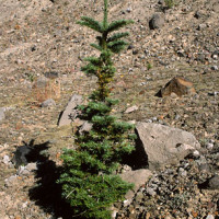
- Dense stands of planted grass inhibit tree establishment and browsing elk clip trees.
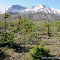
- Trees like this noble fir are continually clipped back.
- Planted areas contrast greatly with unseeded areas upstream.
- Plant diversity is much higher in unseeded areas.
- Eventually trees grow above the reach of browsing elk and their height growth accelerates.
- The planting of non-native grass and clover has greatly influencing plant succession around the volcano.
- Emergency seeding for erosion control has forever alterred natural plant communities around the volcano.
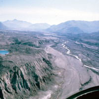
- Transport of sediment downstream was a mjor concern.
- Aerial view of North Toutle River, two years after eruption.
- Plants gradually spread to adjacent upland areas.
- Slower growing fir, hemlock and pine trees are also taking root.
- Fast growing alders are gradually spreading across the valley.
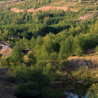
- Patches of developing alder forest are transforming the valley.
- Forest plants and animals are moving into the alder forests.
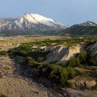
- River floodplains remain largely unvegetated due to constant disturbance.
- North Fork Toutle flood plain [30 years after the eruption]
- Today, a diverse mosaic of developing forest and meadow covers the valley
- Red alder trees were important early colonizers.

