Lahars
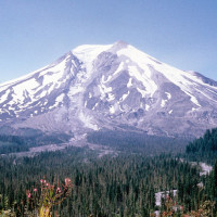
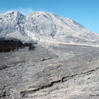
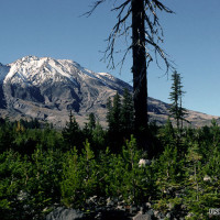
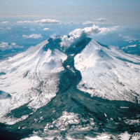
- Prior to 1980, Mount St. Helens’ south flank featured a narrow glacier and stunted forests growing on ancient lahar deposits.
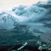
- The eruption melted the Shoestring Glacier and the resulting cement-like slurry stripped off the forest.
- Melting ice and snow mixed with rock and ash producing debris-laden floods called lahars (mudflows).
- Flood waters from melting ice and snow produced lahars that flowed miles from the volcano.
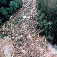
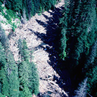
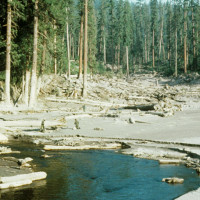
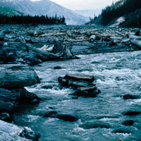
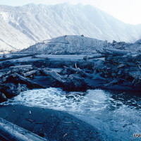
- The boulder-filled mudlfows scoured stream channels uprooting and depositing trees downstream.
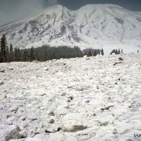
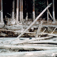
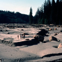
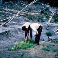
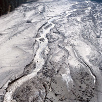
- Lahars scoured and buried miles of river channel. Note flow marks on trees and geologist for scale. (circle person for scale)
- Trees were swept away and washed downstream.
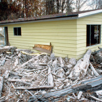
- Homes close to the river were washed away or partially buried by ash and rock.
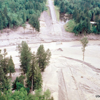
- Aerial view of bridge washed out by Toutle River lahar.
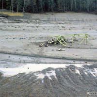
- Bridge buried in Toutle River lahar deposit.
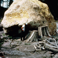
- The dense high-energy slurry floated and transported huge boulders.
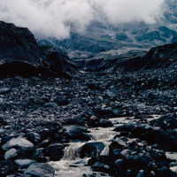
- The cement-like slurries carried tremendous energy transporting even large boulders downstream.
- Lahar depth is shown by the high flow marks on the trees. Note helicopter and geologists for scale.
- Sprouting of fragmented roots was an important early mechanism of survival.
- Erosion of upstream deposits transported additional sediment and debris downstream.
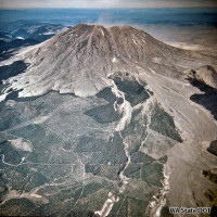
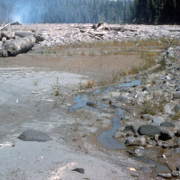
- Damage was limited to the valleys in which the lahars were channeled downstream.
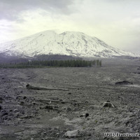
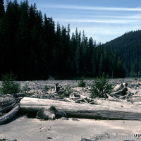
- The lahar stripped away the forest [1 year after eruption]
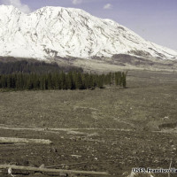
- The valley was covered with ash and boulders. Note pickup truck [2 years after eruption]
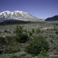
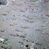
- Seeds from adjacent forests planted the deposit [19 years after eruption]
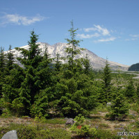
- A young forest covers much of the valley [29 years after eruption]
- Tree establishment has been rapid due to countless seeds blown in from the adjacent undisturbed forest.
- Larger river channels shifted back and forth across the deposit.
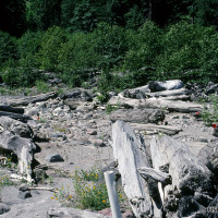
- Woody debris provided an importance source of stability and shade for early plant establishment.
- Floodplains were repeatedly scoured and buried and were slow to revegetate.
- Small tributary streams were a key place for early establishment.
- Willow and alder seedlings established in moist sediments.
- Red alder seedlings took root on stable terraces and debris piles. [two years after eruption]
- Entire terraces and alder stands were uprooted and washed away by a massive flood 16 years after the eruption.
- Lahars are an ongoing hazard. This small lahar was triggered by a small crater explosion in 1983.
Mycorrhizae Studies
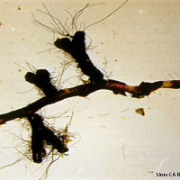
- View of beneficial mycorrhizal fungi on lupine roots.
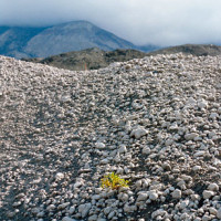
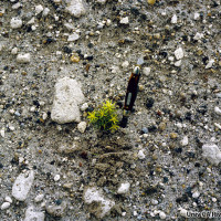
- Studies revealed that plants without the benefit of mycorrhizae faired poorly. [3 years after the eruption]
- Scattered tree seedlings developed mycorrhizal associations from wind-dispersed spores. [5 years after eruption]
- Scientists wanted to determine how colonizing plants aquire important fungal and bacterial associations.

